Flood Survey Provider
Protect your business from the devastating effects of floods
Anticipate and mitigate flood risks to safeguard your operations
Floods are a devastating natural disaster that can cause significant loss of life and property. In Thailand, many regions frequently experience severe flood damage, such as during the major flooding in 2011. These disasters often occur due to inadequate flood risk assessments and insufficient flood protection measures.
The good news is that you can turn to leading flood survey provider InterRisk Asia for top-tier flood risk assessment services to safeguard your people and assets.
Why choose InterRisk Asia as your flood survey provider?
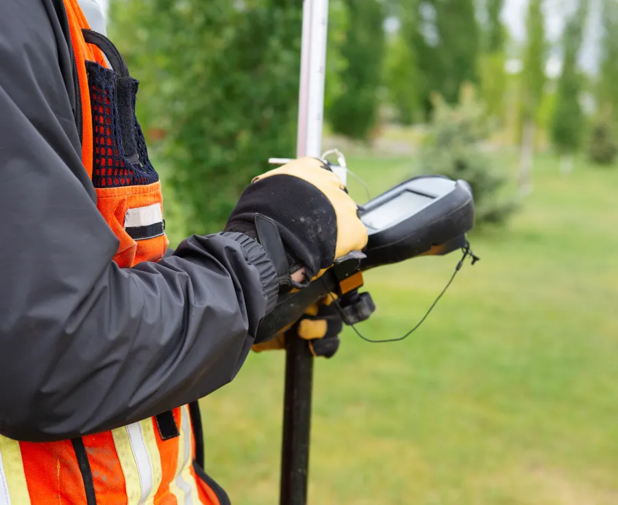
Our team of experts conducts detailed flood risk evaluations by gathering essential data, including topographic maps, flood histories, and on-site surveys. Using this information, we create accurate 2D and 3D visualizations of potential flood scenarios, allowing businesses to understand their risk and take preventive action.
Our flood risk assessment process includes:
- Geographical analysis – understanding the terrain of your area and its susceptibility to flooding
- Hazard mapping – using 100-year and 500-year flood data to predict potential future flood events
- Historical data review – analyzing past flood occurrences in your location to assess patterns and risk factors
- Water drainage systems – reviewing the efficiency of your area’s and the industrial estate’s drainage and flood protection systems
- Flood management and protection plans – providing recommendations for flood management and protection measures tailored to your business needs
- We align our recommendations with both national and international safety standards, so you can trust that your business meets the highest levels of safety and compliance.
Our risk management services
InterRisk Asia offers a comprehensive suite of solutions to meet the safety needs of Southeast Asian businesses.
Educational Training
Business Consulting
Others
- Supply Chain Risk Assessment (Coming Soon)
Safeguard your business with a professional flood survey
Don’t wait for the next big flood. Get in touch with leading flood survey provider InterRisk Asia today for a comprehensive flood risk assessment.